


| Home | Daily Reports | December | Day 249 |
| Day 249, Thursday, 3 December, 2009 Distance travelled – 75.7 km Penong to Ceduna
Yesterday and today we passed large covered holes close to the highway. When we first came across them we wondered if the stone lined holes were basements from old buildings but as we saw more and more of them we came to realise they were old disused underground water tanks. Today we came across more of these large underground tanks, some still in use. The tanks are the remains of a network of underground tanks that used to be spread across the Eyre Peninsula. Storing water below ground level meant that the farmers could reduce evaporation and construct larger tanks than that could be supported above ground. The tank roofs were designed to catch the rain and this was supplemented through a network of drains constructed across the surrounding land. The local farming communities controlled the use of the water and sold it locally and to travellers along the stock routes and roads. Signs used to show fees for watering horses, camels, sheep and cattle. Many of these tanks were still in use in the 1980’s when a reticulated water supply began to be introduced across the Eyre Peninsula. Today, water remains an extremely precious commodity in South Australia and this morning’s radio news carried a story about the latest attempt to secure the State’s water supply with a site being approved for a new desalination plant on the Eyre Peninsula. Zoom into the map and use the 'Satellite' layer to see our new location.
Large underground water tank and wind mill east of Penong
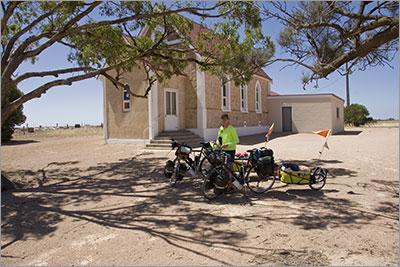
Denial Bay Lutheran Church and cemetery. A nice shady spot for a break with a good view.
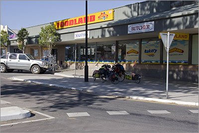
Shopping at Ceduna |
 Strong side and head winds were again the highlight for today but thankfully it was only a short ride to Ceduna.
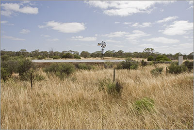
Home | Daily Reports | About | Contact Us | Merchandise | Site Map
© 2008 Mark Arundel