


| Home | Daily Reports | July | Day 106 |
|
Day 106, Monday, 13 July 2009 Distance travelled – 98.4 km Mt Isa to Bush Camp Mt Isa City Council is administratively responsible for 43,000 square kilometres which apparently makes Mt Isa the fifth largest city by surface area in the world, the actual city is quite small. Camooweal is said to be a suburb of Mt Isa and the 189 km Barkly Highway that connects these two towns is the longest main street in the world. (Remember every town in Australia has to have a unique tourist story). So this morning we started our two day trip along the longest main street in the world. With nothing in between we bush camped overnight beside the road. It was a hot day today and we were both drinking a lot. The Mt Isa water that we were carrying had a distinctive algae taste that Canberra’s residents have been known in the past to demand ACTEW remove, however no such pleasure out here so late in the afternoon we stopped and got out the Tang to give our taste buds a break. Interestingly today we entered the Lake Eyre Basin which when you look at a map makes you realise how vast the lake Eyre catchment is. It is hard to picture water falling here as rain ending up in Lake Eyre so far away. Zoom into the map and use the 'Satellite' layer to see our new location.
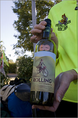
A potential sponsor for our ride!
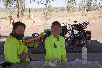
The two of us at WWII Rest Area west of Mt Isa
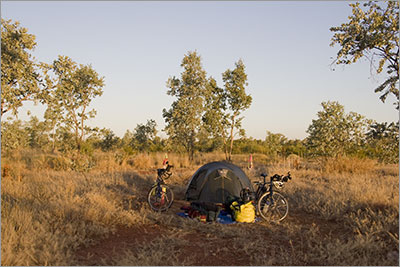
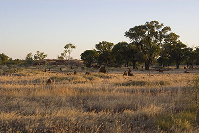
Bush Camp 090713
Bush Camp 090713 |
Home | Daily Reports | About | Contact Us | Merchandise | Site Map
© 2008 Mark Arundel