


| Home | Daily Reports | May | Day 043 |
|
Day 043, Monday, 11 May 2009
Distance travelled – 64.7 km Childers, Bundaberg This morning we visited the Childers Visitor Centre and Palace Backpackers Memorial. It is a very touching and personal memorial to the 15 who lost their lives in the fire of 2000. As we were getting ready to leave a couple stopped to enquire about what we were up to. We frequently comment about how people seem to wait until we are ready to start off again before plucking up the courage to come over and have a chat, so our stops invariably end up being a lot longer than we anticipate. It’s great to have people coming over to talk but it would help our schedule if they joined us for coffee rather than waiting until we leave. As we walked down the footpath we passed a shop called “Chick, Chook and Boilers – Childers Clothing & Accessories”. We should have stopped and offered some cross promotion opportunities. There are two ways to Bundaberg from Childers. The locals refer to them as the “front road” and the “back road”. We were told that the “back road” used to be the quiet route however because more and more people are using the “back road” the front road was recommended to us as the better option.
We took the opportunity to have an early lunch and after a short chat to a couple who arrived to stay the night in their van we headed off to only stop less than two minutes down the road to put our rain coats back on. We rode for about 30 minutes in very heavy rain before it eased. Watch the video. On arriving at the outskirts of Bundaberg our trusty GPS directed us down a road that turned out to be a construction site for a new ring road. After a couple of kms we ended up at a detour sign that did not seem to be going in the right direction. Luckily a fellow in a truck stopped and was able to give us directions. Apparently the road the GPS was sending us down had not been constructed yet! This is the second time this has happened on the trip – the electronic maps seem to be ahead of time. We arrived at the Glenlodge Caravan Park on the outskirts of Bundaberg quite hungry, as we had not finished lunch. To our surprise the manager greeted us in the car park, handed us the key and told us to fix him up later. A very big contrast to some places where we have stayed where we have not been allowed to inspect a cabin or room without an escort. Zoom into the map and use the 'Satellite' layer to see our new location.
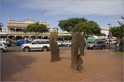
Childers, Millenium Park and Kanaka Memorial
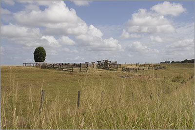
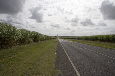
View from Isis Highway
View along Isis Highway
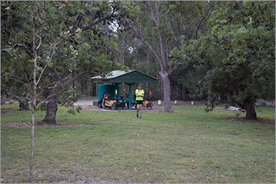
Wallum Reserve on Isis Highway.
|
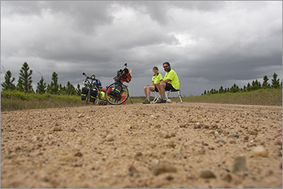 Just before midday and as we were proceeding through some road works it started to rain lightly. A road sign indicated we were 1km from a rest area so we picked up pace with the hope there was a shelter where we could get out of the rain and put our cameras into dry sacks.
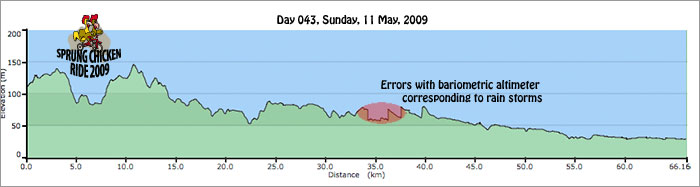
Home | Daily Reports | About | Contact Us | Merchandise | Site Map
© 2008 Mark Arundel